True Size of Countries: Why Maps Mislead
Drag countries across a Mercator map and watch them shrink near the equator and grow near the poles. Is Greenland really as big as Africa? Find out.
About the game
Is Greenland really as large as Africa? Search for a country, then drag it to another latitude on a Mercator map. Its shape and apparent size change while its real area stays the same.
Missions and the “Which is bigger?” challenge teach map projections by experimenting rather than memorising.
How to play
- Type a country name; it appears in colour in its real position.
- Drag it north or south and compare its apparent size.
- The list shows its real area and how much bigger it looks at its current position.
FAQ
- Why do countries near the poles look bigger?
- The Mercator projection stretches areas more and more as you move away from the equator.
More geography games
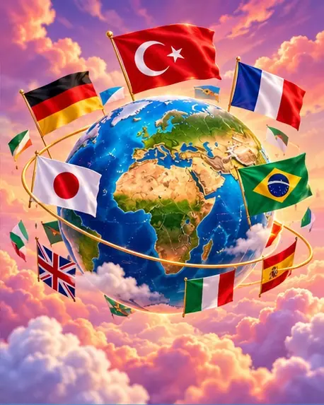
Flag Quiz: Guess the Flags of the World
Free flag quiz with all 193 countries. See a flag, pick the right country from four options, filter by continent and learn look-alike flags like Romania and Chad.
Play free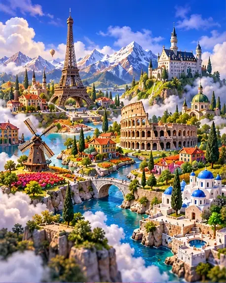
Europe Map Quiz: Find the Countries of Europe
Free Europe map quiz: a country name appears, you click it on a blank map of Europe. Covers 50+ countries from Scandinavia to the Balkans, including microstates.
Play free
Guess the Country: Where Is Geogo?
Guess the country from postcard clues: culture and nature first, then continent and population, a famous landmark, the capital and finally the flag. 65 countries.
Play free